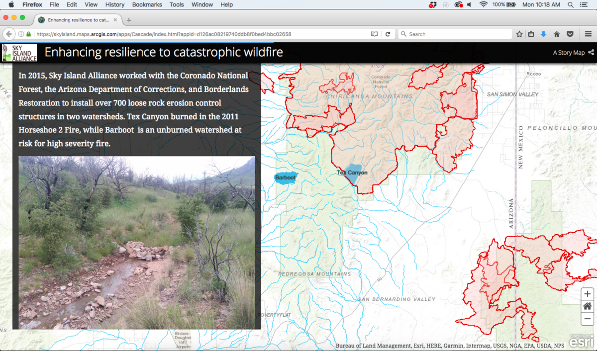
Throughout 2015 and 2016, we monitored two locations in the Chiricahua Mountains of southeastern Arizona to document the effect that rock structures have on soil moisture and compare performance of the structures in one landscape that had suffered severe wildfire and one that had not yet burned.
Now you can dig into the full, interactive story of this work on our story map! Check out maps of the area, photos of the rock structures in Bar Boot and Tex Canyon, and videos of the results! We packed in so much good stuff, it takes a couple minutes to load fully—so please be patient.